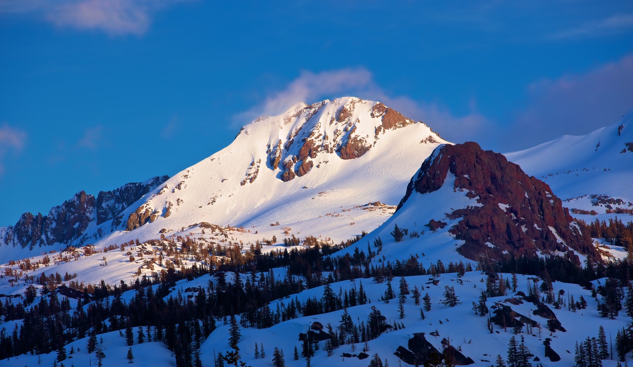
Located in the Eldorado National Forest, Mokelumne Wilderness
The prominence of the mountain is 2561 feet

The mountain is located in the Mokelumne Wilderness of the Eldorado National Forest. A permit is not needed for dayhikes. For overnight trips a permit can be obtained at the visitors center in the cabin on route 88 at Carson Pass. The Eldorado National Forest office is at: 3070 Camino Heights Dr., Camino, CA 95709. Tele: (916) 644-6048
The peak can be climbed from Carson Pass, but an alternate route will be described here. Drive west from Carson Pass on route 88 for 1.8 miles and turn left (S) on a paved road and go another 1.3 miles to Woods Lake. Park at the picnic area next to Woods Lake and then walk back on the paved road a short distance to the campground. Take the loop through the campground and at the western end take the dirt road which soon turns into a trail going past the Lost Cabin Mine. There is an old cabin here and signs indicate it is still an active claim. We encountered a lot of snow which made the trail difficult to follow, but it should be no problem when the snow is gone. The trail follows along the north side of a creek coming from Round Top Lake and in about 2 miles you will reach the lake. There is a trail junction here with the left fork going to Winnemucca Lake. Go straight up the slopes from the junction toward Round Top and find a use trail on the upper slopes. The Sisters at 10,153 ft. are the peaks to the right of Round Top. Climb some steep, crumbly rock to a false summit with BM#1. Continue east along the ridge to the true summit over several rocky ridges and drop down about 25 ft. to your right around a deep notch before climbing the fairly easy 3rd class gully to the top. The route is about 2.5 miles to the top with a gain of 2150 ft. and takes about 2 1/2 hours. The route from Carson Pass and winter ascents are described in the "Northern Sierra Peaks Guide" by Pete Yamagata. 6/96 RLC